The High Divide Collaborative has been in full force this year so far. Between planning and hosting events, making maps and data models, and supporting partners with federal grant applications, carnivore conflict reduction, and storytelling work, we have barely had time to step back and reflect. Below is a summary of our work so far in 2023, an update on our Landscape Conservation Design work, and a preview into the rest of our year.
High Divide Collaborative Accomplishments & Updates
Spring Workshop|We hosted a spring workshop in April, convening partners in Salmon, Idaho for three days to discuss recreation, community resilience, and conservation in the High Divide.
Newsletter | We continue to send a monthly email newsletter to maintain virtual connection among our members. The newsletter highlights partner projects, funding opportunities, and new research and resources throughout the region.
BLM National Wildlife Funding Opportunity | The High Divide Collaborative just applied for funding through the Bureau of Land Management to support partners working on aquatic restoration, fuels reduction, and wildlife work in Idaho Falls and Southwest Montana. This opportunity and process was a learning experience for both us at Heart of the Rockies, as well as for partners involved in the application. We hope this will catalyze future collaborative fundraising under the HDC umbrella for partners of all types.
Landowner Led Conflict Reduction Partnership | Members of this group have been involved in agricultural conflict prevention strategies, including range riding, carcass removal, and electric fencing. Members of the group recently organized and attending a Carnivore Conflict Prevention workshop in Missoula to share valuable implementation lessons around these practices, strengthen relationships with new agency staff, discuss challenges with and opportunities to expand this work, and develop a common vision for the coming years.
NRCS CIG Grant | The HDC continues to administer the Natural Resources Conservation Service Conservation Innovation Grant. As part of this grant, ranchers co-produce the research and products that will assist NRCS in their conservation planning and delivery efforts, specifically around supporting ranchers’ access to prevention practices.
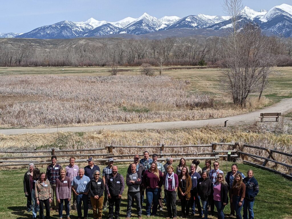
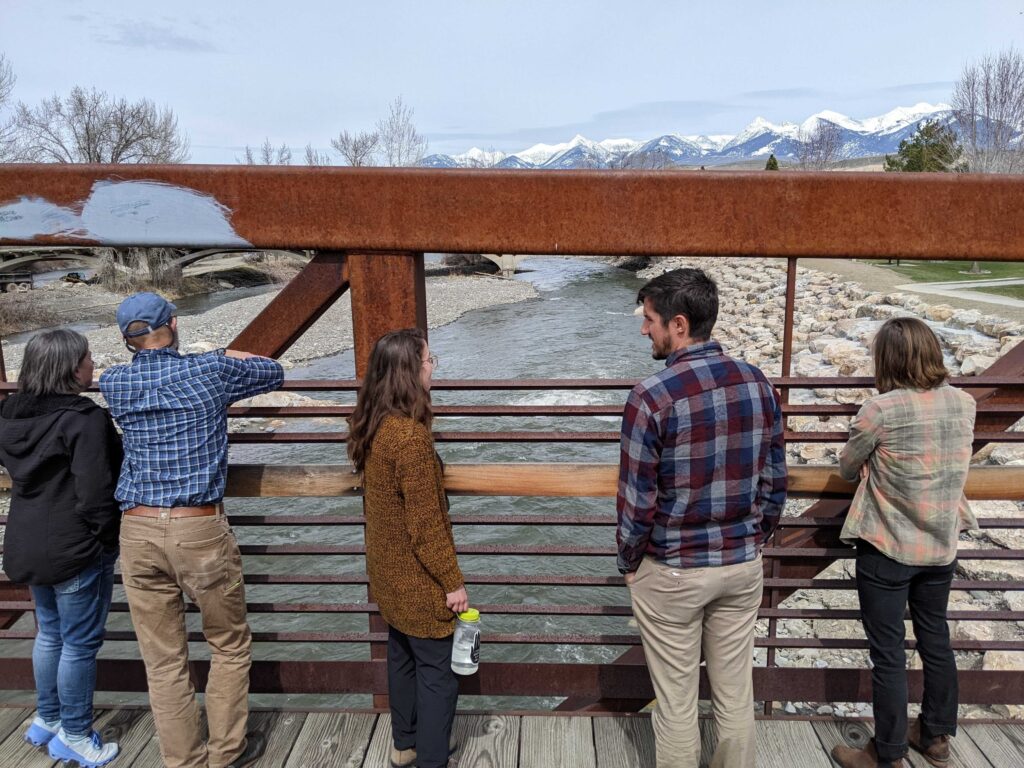
Shots from our HDC spring workshop in Salmon, Idaho. The group took a field trip to visit the new wave park in downtown Salmon.
High Divide Collaborative Upcoming Events
Storytelling | As we asked around about the specific needs of our partners, we realized that our own expertise were not adequate to support them in telling their stories. To address this gap, the HDC is working with Lara Tomov to design a storytelling workshop in 2024 for partners.
Fall Celebration | We will be co-hosting our fall celebration with the Montana Forest Collaboration Network, the Beaverhead-Deerlodge Working Group, and the Beaverhead County Collaborative in September. More info on this to come soon!
Mapping Partner Projects | We are beginning the process of creating an interactive map of current partner projects happening in the High Divide. This will be a resource to all HDC partners, as well as help us to support collaborative fundraising as opportunities arise. Here is an example of what this might look like!
The Technical Team has been working hard to put together a new ArcGIS Online that will host all of our data and maps for the LCD. Currently, this team, with consistent feedback and support from the Leadership Team, is working to finish up Phase I of the LCD. Our Phase I report will soon be available on our website, along with our ArcGIS Online maps.
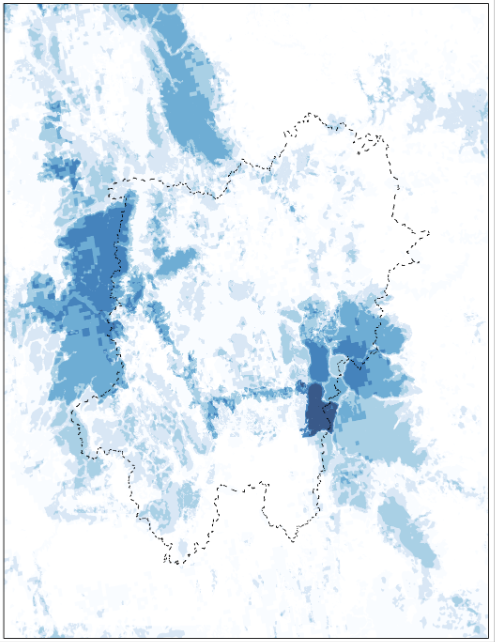
Right: a draft High Divide Intactness map that is comprised of several layers that consider aspects of Ecological Integrity. These aspects include intact, protected lands, human modification, landscape resilience and resistance, biodiversity, and state wildlife priorities. Darker blue indicates more agreement between layers. This map contextualizes where intact places are in relationship to the High Divide region, as well as shows us where connectivity can happen between these places.
This website will remain temporarily available to provide partners access to resources and view past work.
We plan to host one final gathering to round out this chapter. The High Divide Collaborative Celebration will take place later in summer of 2026, and we will be in touch via email with partners to provide more details in the coming months.
Thank you to all the partners who have collaborated and contributed valuable work over the years!